| Purpose:
Numerical Simulation of
Geophysical flows (debris flows, landslides, avalanches...) usually
needs "theorical" bottom topographies in addition to true DTM (Digital
Topographical Models). It could be thus tricky to build own testing
DTM. In an other hand, Blender offers very powerful and easy to use
tools for 3D modeling. Here is an exemple of the utility of using
Blender as a DTM editor for numerical simulation input of geophysical
flows.
Requierments: - Blender
- awk - GMT (Generic Mapping Tools) Should works on Linux,FreeBSD, Mac OS X Step-by-step: 1 - Lunch Blender (several
websites are available for beginners)
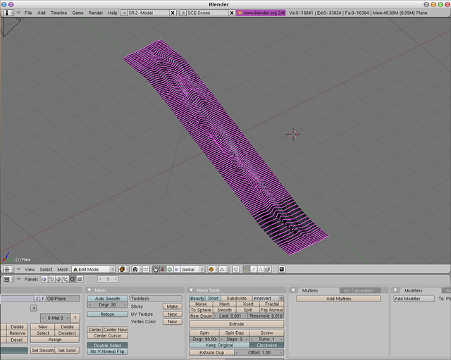
2 - Create a plane and subdivise it so as to get numerous vertices 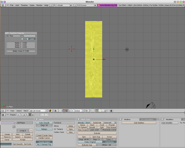 3 - Sculpt it as you would like to
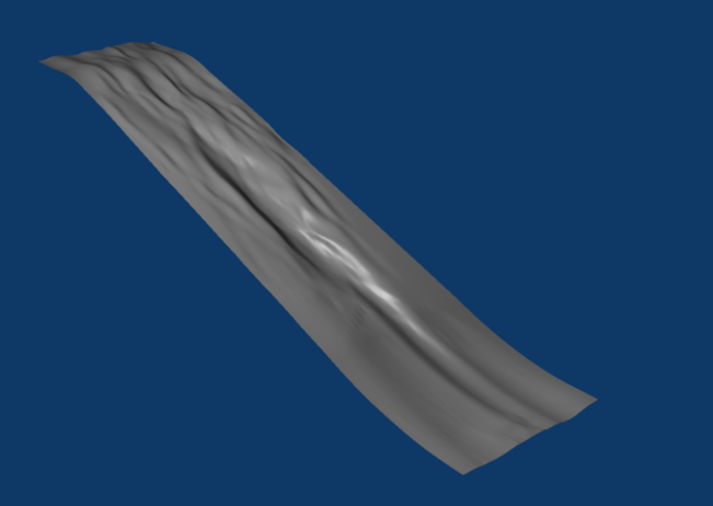
 4 - Perform the
rendering for a better visualization
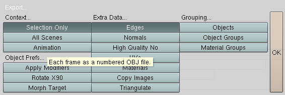
 5 - Then export it as wavefront
3D object (Obj) with following options
 6 - then run the blenderflow csh-script on your 3d-Obj file, you will get binary raw and ascii files in a regular grid ready to be used in your simulations:  Warranty: This tip comes without any warranty, but any comment are welcome! A. Lucas / 09-2009 |