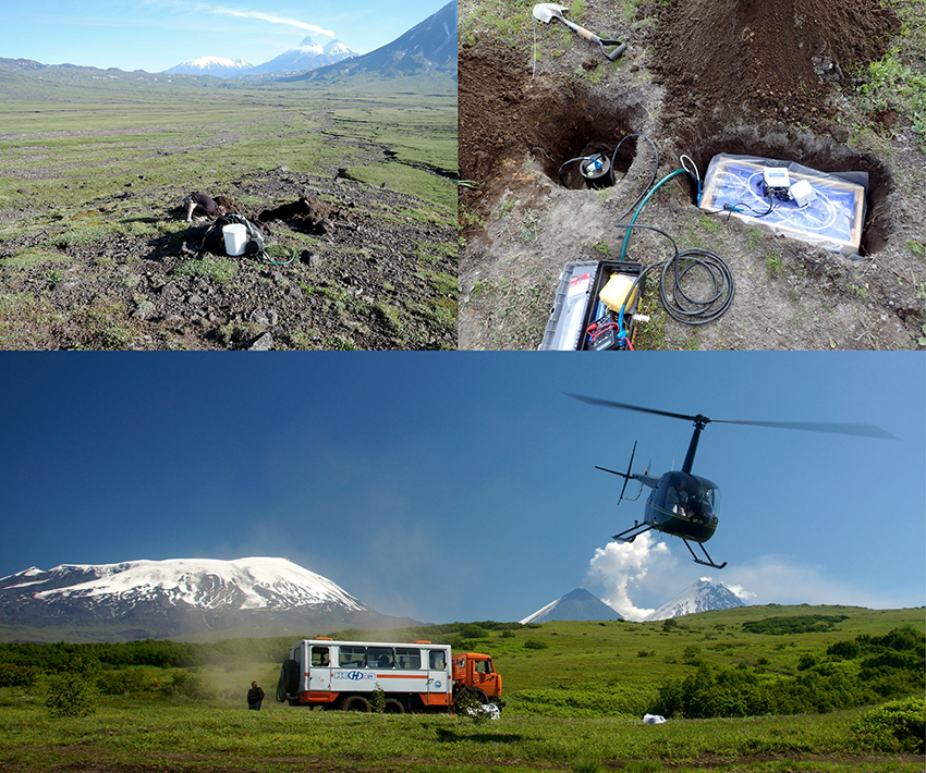
A large-scale geophysical campaign to study the giant volcanoes of Kamchatka in Russia
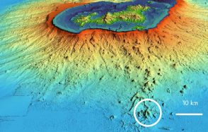
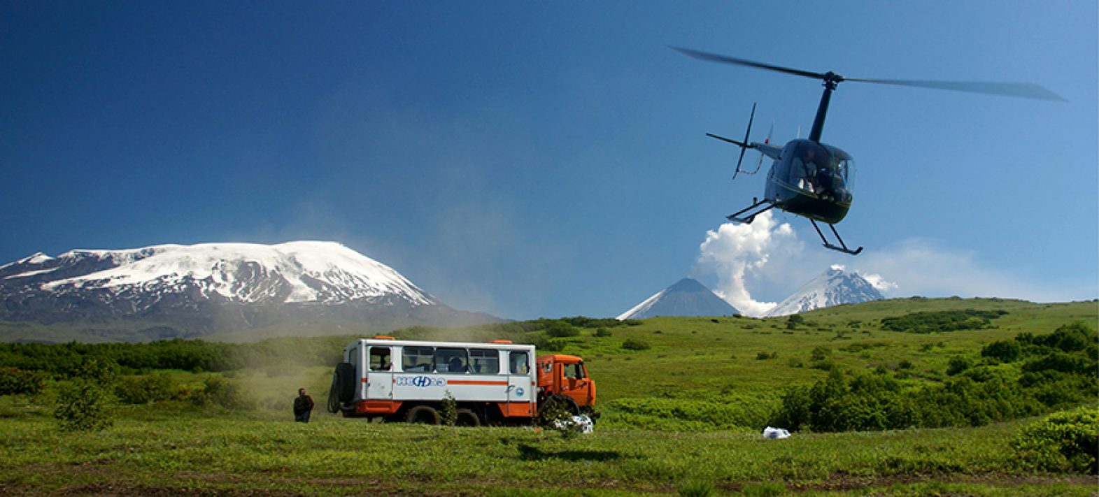
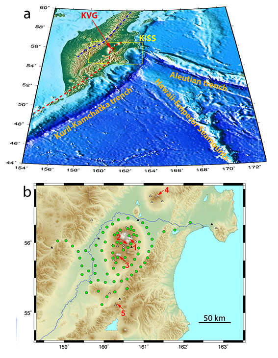
On the Kamchatka peninsula in Russia's far east, the Kluchevskoy volcano group is part of the Kuril-Kamchatka volcanic chain. This volcanic formation is the result of subduction of the Pacific plate beneath the Kamchatka peninsula.
Latest news