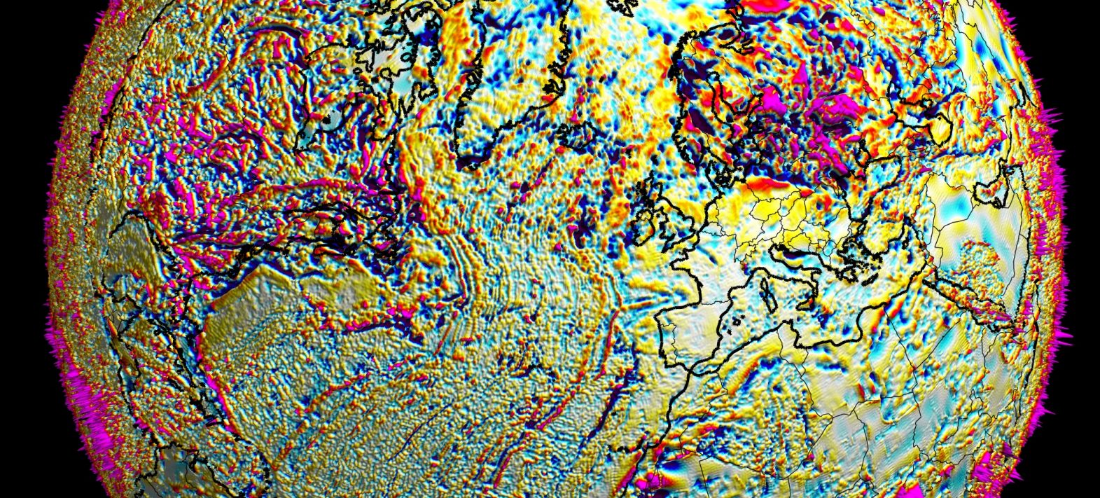
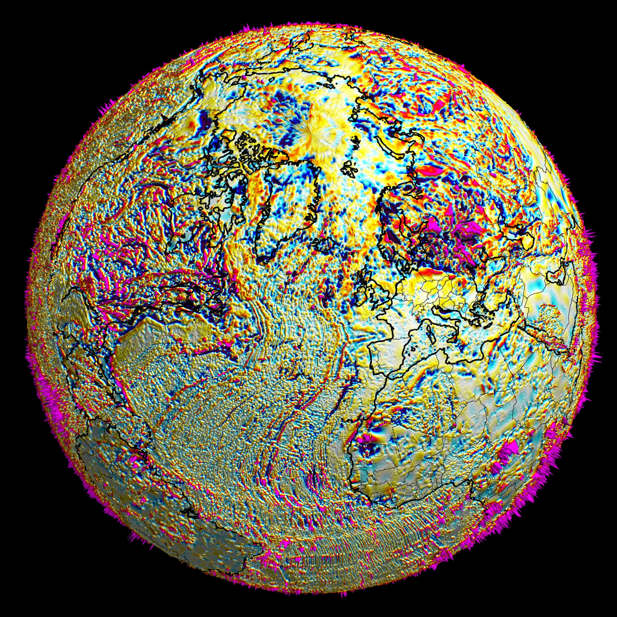
New magnetic image of a tectonically active planet
Using 70 years of data (airborne, satellite, field...), a French team (LMV, IPGP and LPG) has just published the most accurate global map to date of the magnetic field produced by magnetized terrestrial rocks.
Publication date: 26/11/2021
Press, Research
Related teams :
Geomagnetism
Related themes : Earth and Planetary Interiors
Latest news