Subsaintes 2017 campaign – Underwater earthquake traces
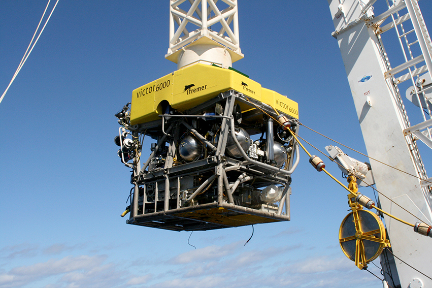
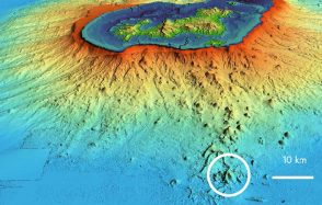
From April 2nd to 24th, 2017, around 20 international scientists embarked from Pointe-à-Pitre aboard IFREMER's oceanographic vessel, Atalante, to study the network of faults that carve up the ocean floor and the many undersea volcanoes, between Guadeloupe's Les Saintes archipelago and the island of Dominica.
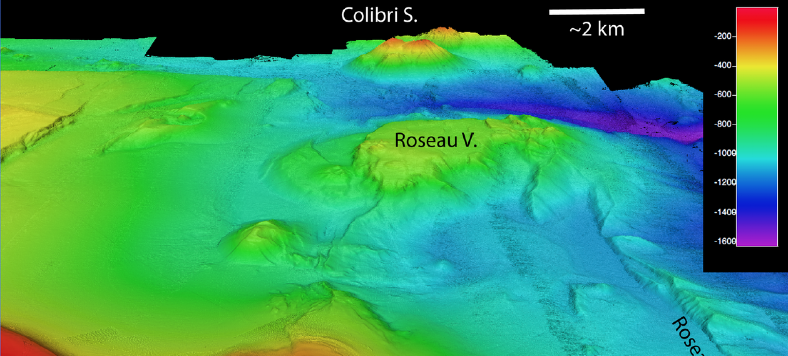
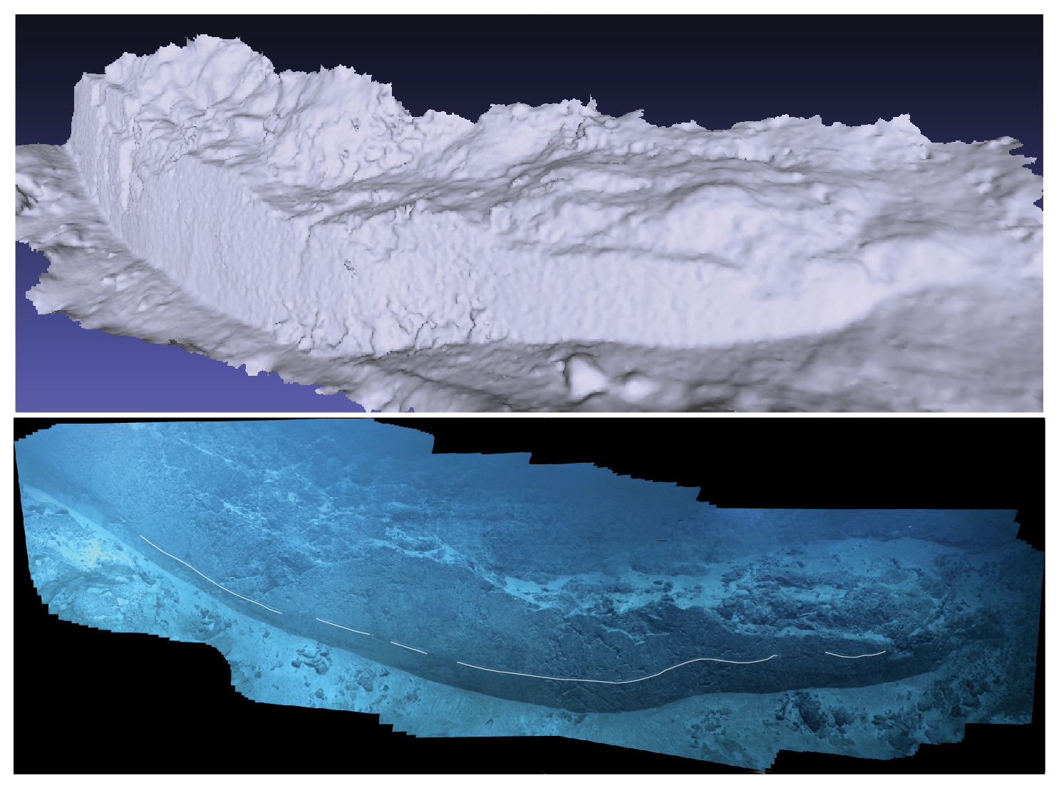
Seafloor Bathymetric Map - Subsaintes
Publication date: 14/03/2017
Observatories, Press, Research
Related observatories : Volcanological and Seismological Observatory of Guadeloupe (OVSG-IPGP), Volcanological and Seismological Observatory of Martinique (OVSM-IPGP)
Related teams :
Marine Geosciences
Related themes : Natural Hazards