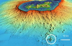
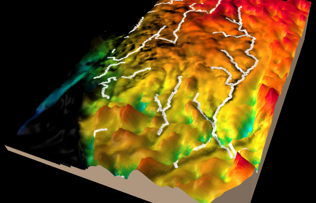
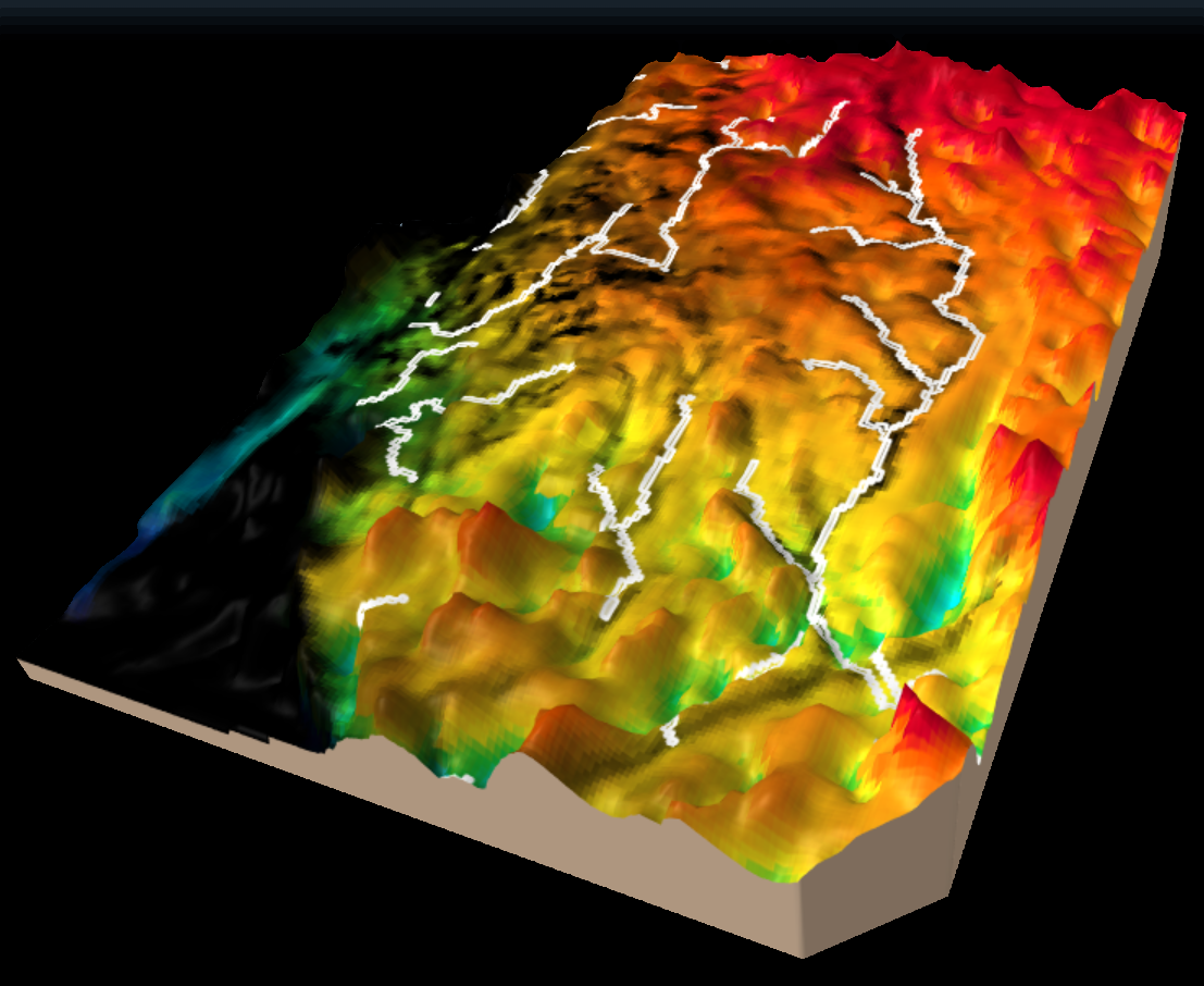
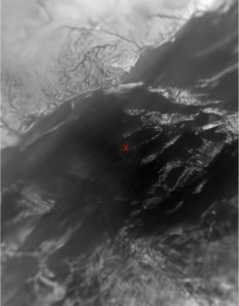
A new numerical approach to the study of liquid methane river valleys on Titan
The Cassini-Huygens mission, which came to an end on September 15th, 2017 after a 20-year voyage, made many discoveries about Saturn, its famous rings and its many satellites, including Titan, the largest of them.
Publication date: 17/09/2020
Press, Research
Related teams :
Planetology and Space Sciences
Related themes : Origins
Latest news