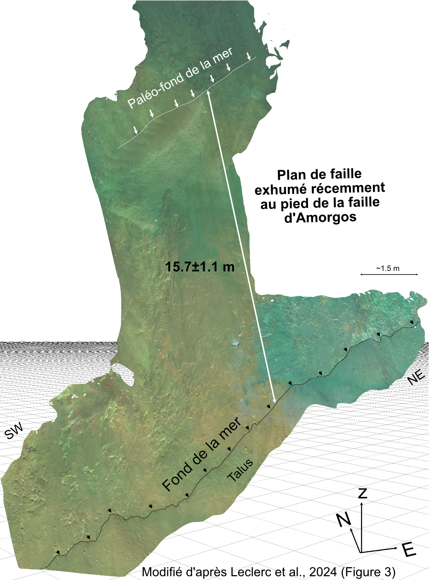
Discovery of the origin of the largest Mediterranean tsunami in two centuries
An international team coordinated by French researchers has just made a major discovery in the Aegean Sea: the precise identification of the underwater rupture that caused the largest modern tsunami in the Mediterranean. This discovery, made more than 60 years after the event, opens up new perspectives for the assessment of seismic and tsunami risks in the Mediterranean.
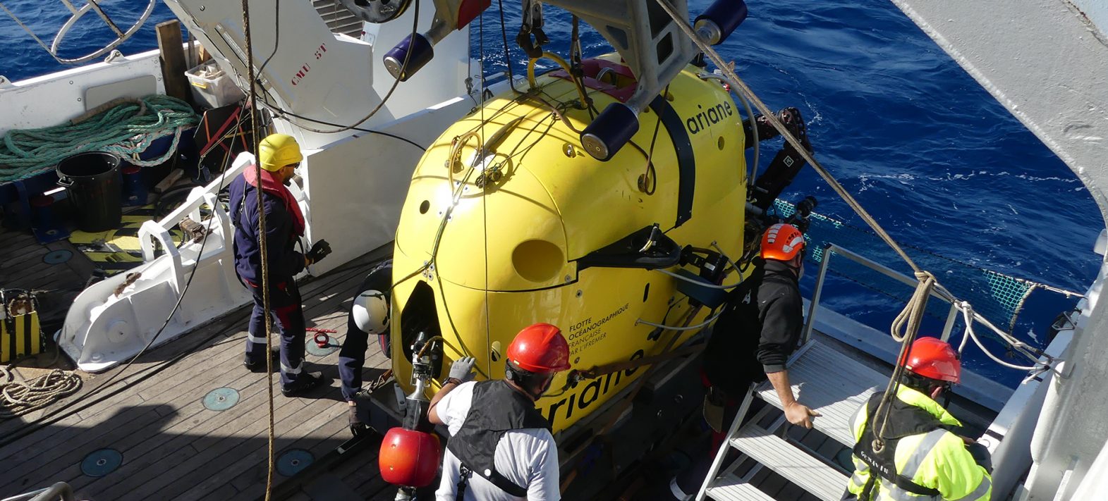
The Ariane HROV on board the N/O Europe © F. Leclerc
Publication date: 27/11/2024
Press, Research
Related teams :
Marine Geosciences
Related themes : Natural Hazards