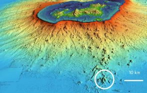
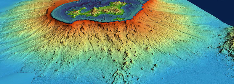
Earthquakes and volcanoes in Mayotte: conclusions of the second oceanographic campaign
A scientific team took part in a second oceanographic campaign entitled "MAYOBS2", from June 11th to 17th, 2019.
Publication date: 27/06/2019
Observatories, Press, Research
Related observatories : Volcanological and Seismological Monitoring Network of Mayotte (REVOSIMA)
Related themes : Natural Hazards
Latest news