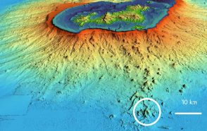
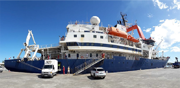
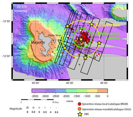
MAYOBS sea campaign following the seismo-volcanic crisis in Mayotte
Deployment of OBS and acquisition of marine geophysical data to observe and monitor the seismo-volcanic crisis in Mayotte.
Publication date: 15/05/2019
Observatories, Press, Research
Related observatories : Volcanological and Seismological Monitoring Network of Mayotte (REVOSIMA)
Related teams :
Volcanic Systems
Latest news