

External Envelopes Geochemistry
____ How water flow influences weathering
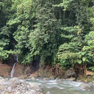
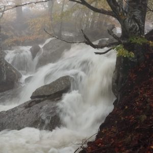
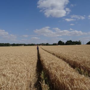
The rates of rock-to-soil conversion and corresponding solute production strongly depend on the intrinsic properties of the minerals, but also on the time left for these minerals to interact with water as it penetrates the ground, flows into aquifers, and is delivered to rivers. For example, very fast water flow in the subsurface – which often translates into high water discharge in rivers – will result in efficient export of solutes, but also in the limited time available for reactions to occur.
We study this interplay between hydrology and geochemistry using a variety of approaches, ranging from the examination of both long-term and high-frequency so-called “concentration-discharge relationships” in streams, reactive transport modeling, establishment of “water transit time distributions” in catchments based on conservative tracers, and isotope fractionation of metal elements in critical zone compartments.
Some of the major questions we address in this field are:
- How do hydrological controls of stream chemistry differ between long time scales (multi-annual down to seasonal) and short time scales (e.g., flood events?)?
- How do chemical and metal isotope tracers record fluid flow through the critical zone?
- What are the relative roles of abiotic vs. biotic processes (e.g., plant uptake) in the hydrological modulation of stream chemistry?
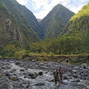
____ Sediment transport in the critical zone
The critical zone is the thin layer at the Earth’s surface where rock, soil, water, air, and living organisms interact. Stretching from the top of the vegetation canopy to the bottom of the groundwater, this zone is pivotal. It is where freshwater is stored and filtered, where soils are formed and it provides a habitat for all terrestrial life. Owing to its multiple components and their intricate interactions, the critical zone stands as a continually evolving system, making its intricacies challenging to unravel.
Despite the challenges of studying the critical zone, the research on this essential part of our planet already provided new insights and understanding. Among the essential questions, one important one is to understand how the critical zone responds to disturbances, such as climate change and extreme events.
 The team tackles the following challenges:
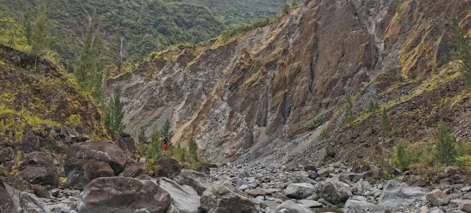
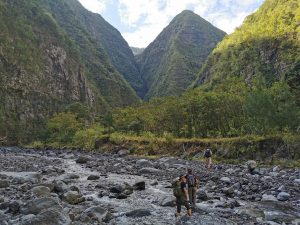
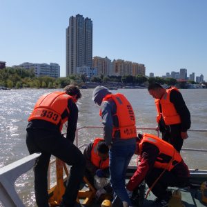
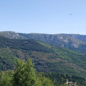
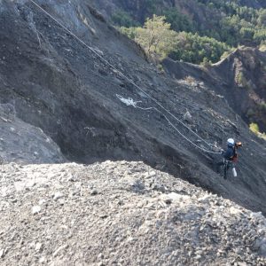
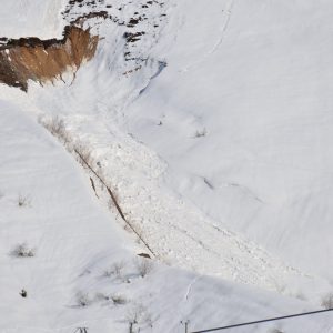
- How the critical zone responses to extreme forcing events, such as storms in tropical islands, massive rock avalanches or brutal glacier retreat in mountainous areas?
- How the sediment transport in river streams is controlled by such perturbations?, and at which timescales?
____ Weathering and the carbon cycle
The chemical weathering of rocks at the Earth’s surface is a major process for the evolution of the Earth System, and in particular for atmospheric CO2. Indeed, the critical zone is the place of large carbon exchanges between air, rocks, soils, waters, and living beings. Quantifying these carbon exchanges, reconstructing their variations in the past, and understanding what controls their magnitudes, are of paramount importance to understand and predict the evolution of the Earth System at all time scales. Within this topic, the questions we address in particular are the following:
- What are the relative roles of different sources of acidity (atmospheric CO2, sulfuric acid production by sulfide oxidation) on rock alteration?
- What is the role of secondary carbonate formation (pedogenic, travertine) on carbon export by rivers?
- What influence does soil CO2 have on weathering reactions?
- What are the controls on the export of different forms of carbon (organic vs. inorganic, dissolved vs. particulate, “fossil” vs. “recent”) by rivers?
____ Plants in the critical cone
Living things are certainly the most visible manifestation of the existence of the critical zone on Earth. In particular, plants influence the stability of soils, the water balance of watersheds, and the dynamics of elements within the critical zone. However, the role of living organisms on the evolution of the critical zone is probably one of the least understood aspects of the functioning of the Earth system.
Through a combination of geochemical (in particular isotopic), geophysical (allowing us to image subsurface water content), and remote sensing (giving us access to the structure and characteristics of aboveground biomass) tools, we address the following questions: 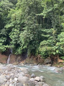
- How do plants affect physical and chemical erosion rates in watersheds?
- How large is the flux of metal nutrients (e.g. calcium, magnesium, or copper) taken up by plants, and how does this translate into the chemical composition of soils and rivers?
- How does the use of groundwater by plants affect the export of dissolved matter from river catchments?
____ Reconstructing critical cone evolution
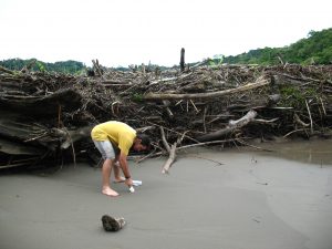
The functioning of the critical zone is nowadays subject to modifications of unprecedented magnitude. In this perspective, the study of sedimentary archives allows us to reconstruct the dynamics of the critical zone during major climatic and/or anthropic changes, and thus to better anticipate future upheavals. In particular, the understanding of the factors influencing the geochemical composition of dissolved and particulate loads in rivers enables the use of these geochemical compositions, as measured at the outlet of a watershed, to characterize the current functioning of a watershed as a whole. This understanding therefore also opens the possibility of using these geochemical compositions in authentic sedimentary archives, representative of dissolved material exported in the past; and detrital, representative of solid material. These archives can be continental (river deposits, lake sediments), recording a relatively local (watershed scale) signal, or oceanic, recording a signal that can range from local to regional, depending on the ocean residence time of the marker considered. These archives allow us to answer the following questions:

- How have terrigenous inputs to the ocean varied over geologic time?
- How did the critical zone respond to Quaternary climate perturbations?
- When did human activities (deforestation, agricultural landerosion) begin to become major agents of landscape evolution?
___ (Isotope) geochemistry
The major processes of the critical zone, such as rock weathering, soil formation, or the metabolism of living organisms, can be seen as transfers of elements between chemical reservoirs. The “geochemical signatures” of these reservoirs can in turn be used to characterize the functioning of the critical zone in terms of the size of these reservoirs, and the flow of matter between them. Among these geochemical signatures, we use in particular:
- element concentrations and ratios (major and trace)
- the isotope composition of so-call
 ed “radiogenic” systems (strontium, neodymium), particularly powerful to reveal the “sources” of the material in the critical zone (e.g. rocks whose erosion has led to the export of sediments by a river)
 - the isotope composition of so-called”stable” systems for metallic and poorly volatile elements, including lithium, boron, magnesium, silicon, calcium, potassium, or strontium. The ratios of these stable isotopes are fractionated during certain processes in the critical zone (clay formation in soils, biological sampling), and can therefore be used as a “signature” of these particular processes.
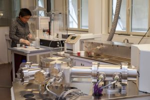
These geochemical parameters can be measured on all compartments of the critical zone: rocks, soils, waters (groundwater and rivers), sediments, plants… We rely in particular on the instrumental possibilities offered by the PARI platform of IPGP, in terms of plasma source mass spectrometry and preparation in clean rooms.
___ Quantitative geomorphology & remote-sensing
To tackle our challenges, we develop and use different methods:
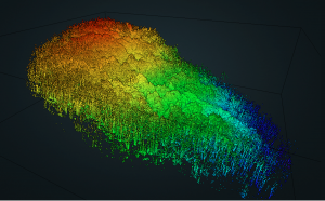 Remote-sensing tools including optical photogrammetry from archived images, UAV and satellites observations, airborne and backpack LiDAR scanner as well as hyperspectral imagery,
- Numerical modeling for solid suspended transport in rivers, rock avalanches and landslides, as well as reactive transport modeling
- Machine and deep-learning (regression, neural network, clustering),
We rely on S-CAPAD and SMV and drone unit of the shared services of IPGP.
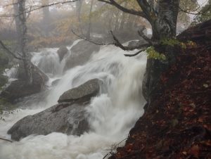
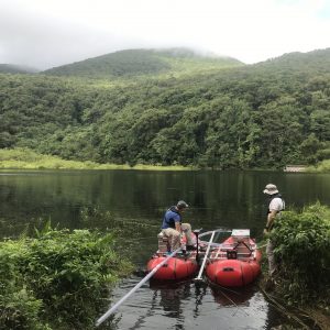
___ Monitoring of water storage and flow
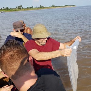
The evolution of the critical zone is strongly constrained by water, hence the need to quantify water stocks and movements in rocks, soils, plants, and rivers. These hydrological parameters can be obtained through continuous field measurements, through the deployment of specific geophysical instruments during given periods, or through the measurement of some so-called “conservative” chemical tracers. In particular, we use:
- continuous measurements of precipitation, river flow, tree sap flow, soil moisture, or groundwater level, such as those provided by the instrumented sites of the CNRS Research Infrastructure OZCAR (Observatoires de la Zone Critique: Applications et Recherche)
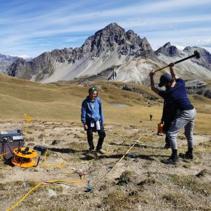
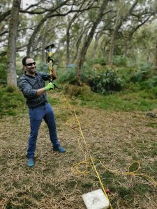
- methods from “subsurface geophysics”, such as seismic or electrical resistivity tomography, which can be used in particular in “time-lapse mode”, and made available by the Equipex “CritEx”
- the isotopic compositions of the water molecule, which when measured in tandem in precipitation and in the export by rivers allow for an estimation of the residence time distributions of water within catchment areas. We rely in particular on the CRDS instrument available on the PARI platform of IPGP.